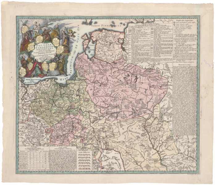

Polonia seraphico-observans juxta Domicilia...
| Author: | Georg Seutter I (1678–1756) |
Georg Matthäus Seutter, a German map publisher, was the first to have used the vertical projection in 1740. This is the type of projection used today by Google Earth. G. M. Seutter worked with his son Georg Matthäus Seutter II (1729–1760) and his two sons-in-law.


