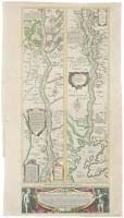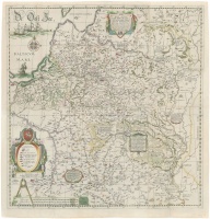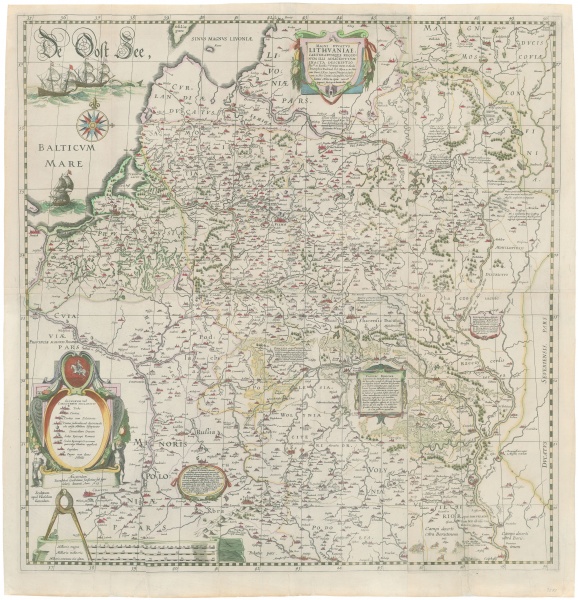
Magni Dvcatvs Lithvaniae, Caeterrvmque Regionvm Illi Adiacentivm Exacta Descriptio…
| Authors: |
Tomasz Makowski (1575 –1630) Hessel Gerritsz (1581–1632) Willem Blaeu (1571–1638) Joan Blaeu (1591–1673) |
| Created: | 1645-1660 |
| Material: | paper |
| Technique: | copper engraving |
| Dimensions: | 75.50 × 73.50 cm |

Willem Janszoon Blaeu (1571–1638) and Joan Blaeu (1591–1673) printed the map of the Grand Duchy of Lithuania, initiated by Mikołaj Krzysztof Radziwiłł “the Orphan” (1549–1616), prepared by Tomasz Makowski (1573–1630) and engraved by Hessel Gerritsz (Gherritszoon van Assum, 1581–1632) – the most famous map of the period. The map was issued as a wall map in 1613, as a large atlas version in 1631–1647, and as a small atlas version in 1648–1672.
Source: Law firm Valiunas Ellex art album DELINEATIO LITUÆ (2009). Text authors Jevgenij Machovenko, Algimantas Muzikevičius, LITUANIA IN ATLANTIBUS (2011). Text author Algimantas Muzikevičius